 news
news
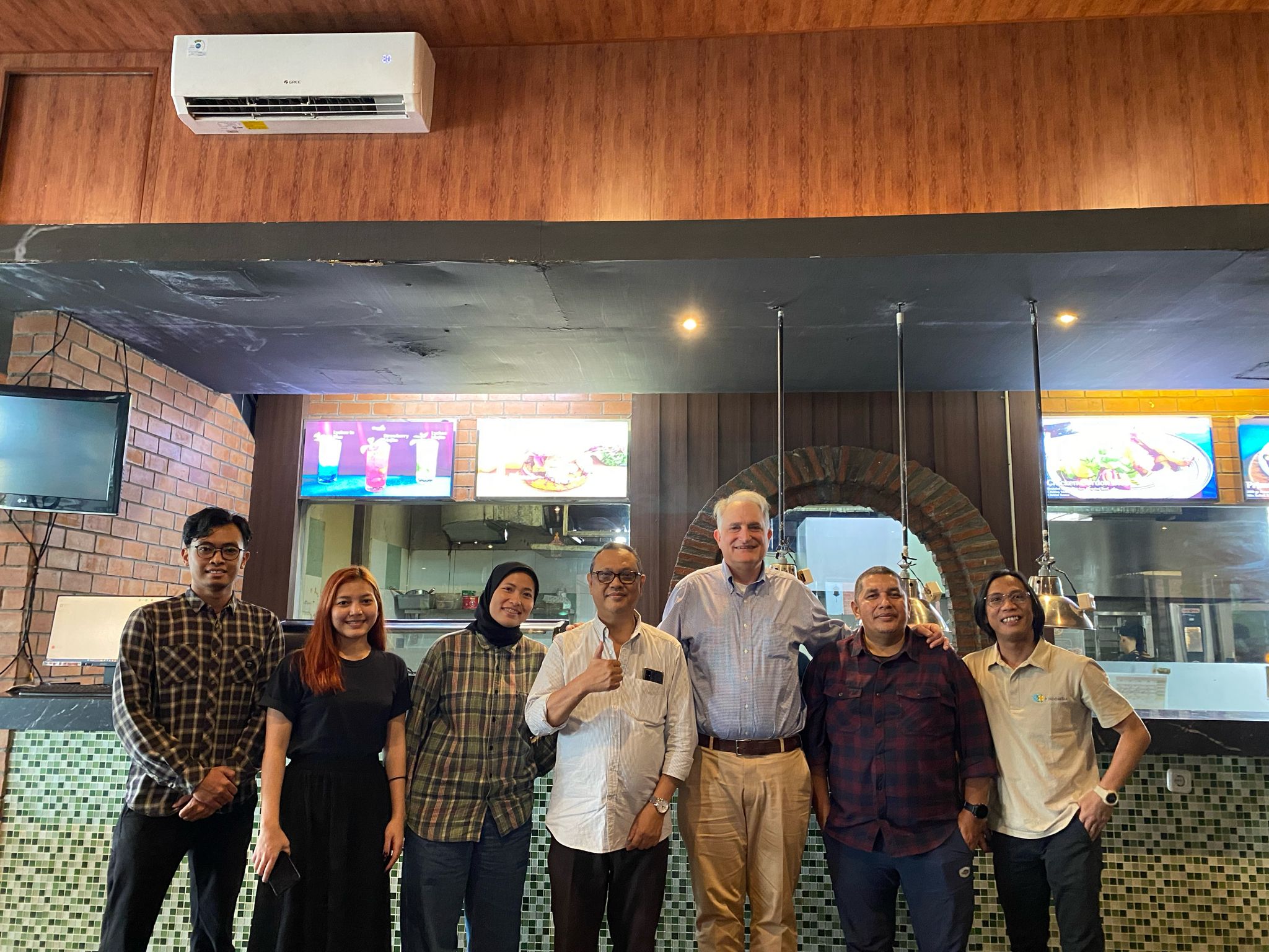
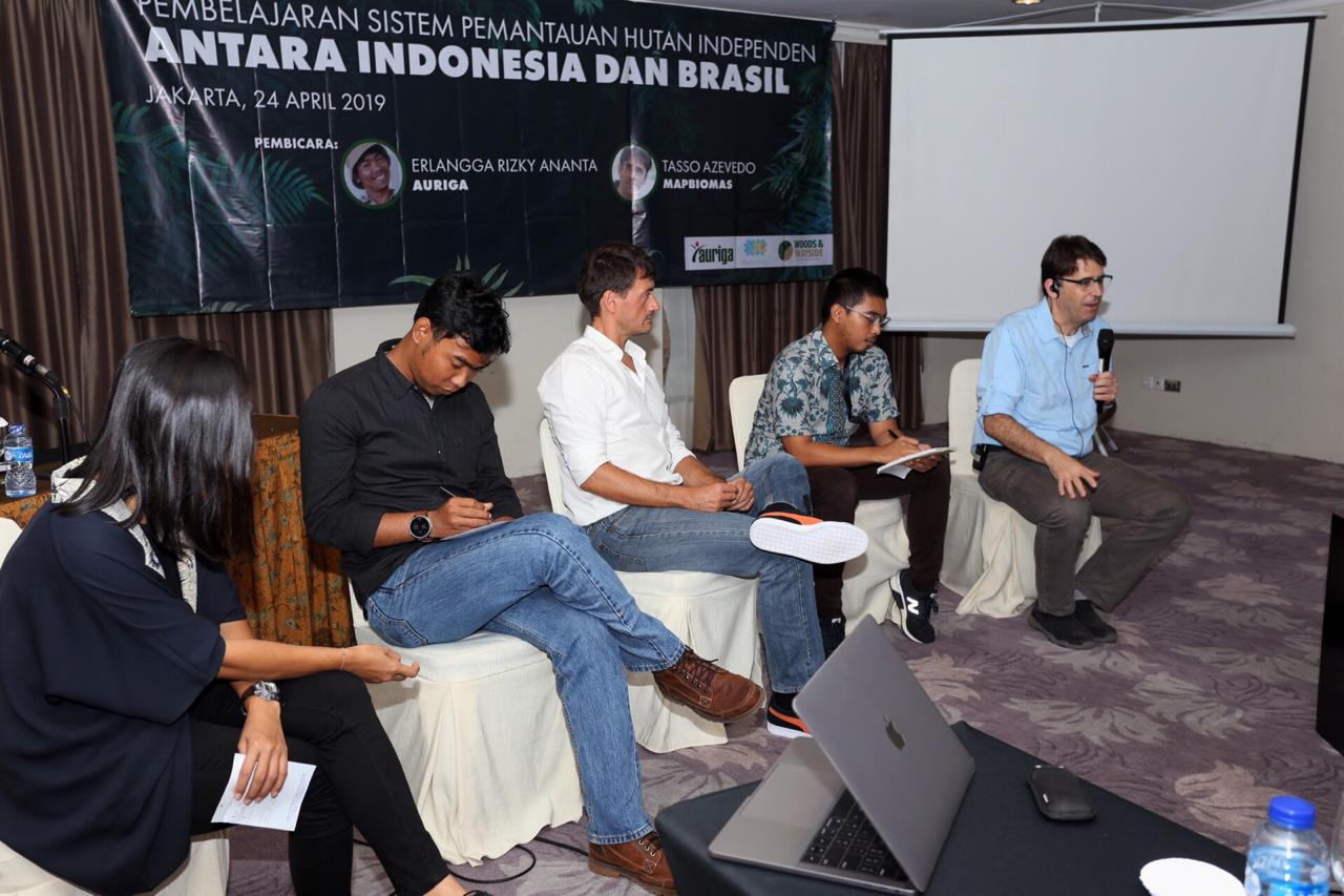
The Yogyakarta meeting discussed the potential collaboration in developing future products and MapBiomas Indonesia technical team capacity development.
 news
news
The São Paulo, Brazil, trip was designed to learn MapBiomas Alerta, a deforestation monitoring platform in Brazil, as an effort to develop a similar platform in Indonesia.
 news
news
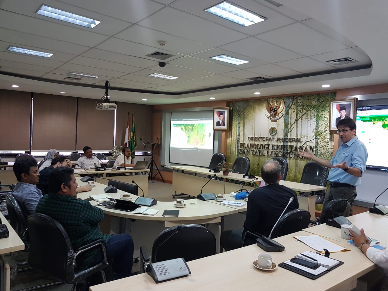
The presentation was conducted to assess and criticize the functions and benefits of the platform in the need for monitoring the dynamics and distribution of land cover in the territory of Indonesia from 2000 to 2019.
 news
news
Mapbiomas Indonesia involves technical experts in the field of Geographic Information System (GIS) to review the platform, methodology and data of the first collection of land cover maps.
 news
news
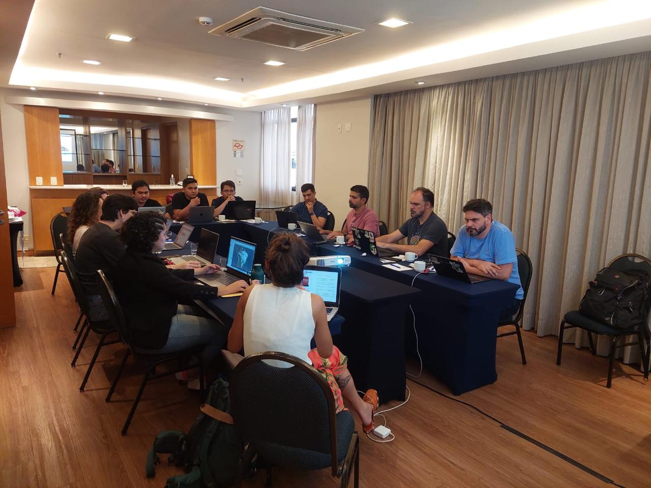
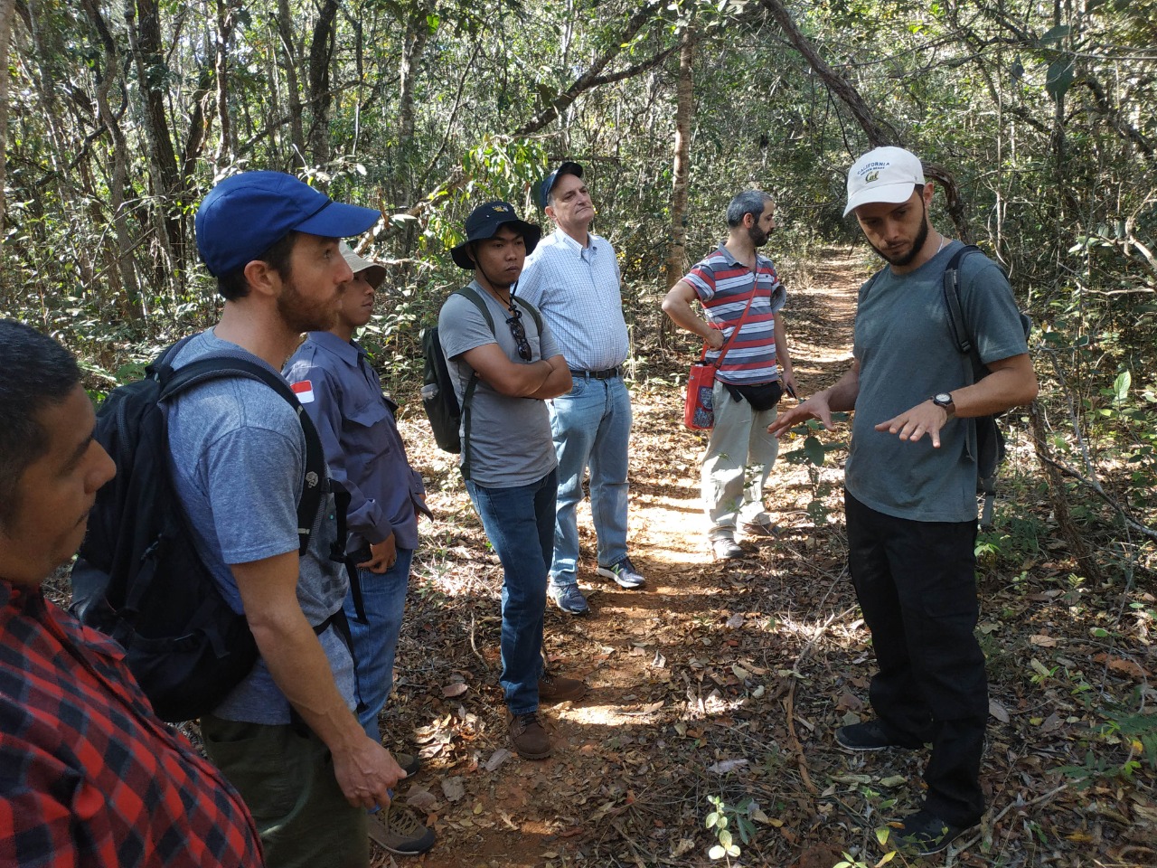
Members of MapBiomas Indonesia made a two-week visit to Brazil to learn from colleagues and observe how the larger MapBiomas network functions.
 news
news
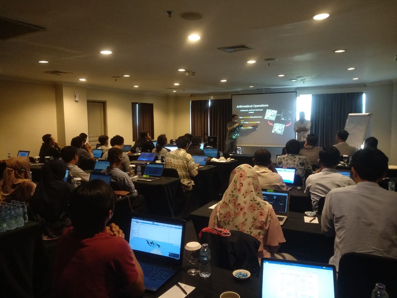
Following the Google Earth Engine training in July 2019, the MapBiomas Indonesia network participated in an advanced training and a workshop on land-cover mapping.
 news
news
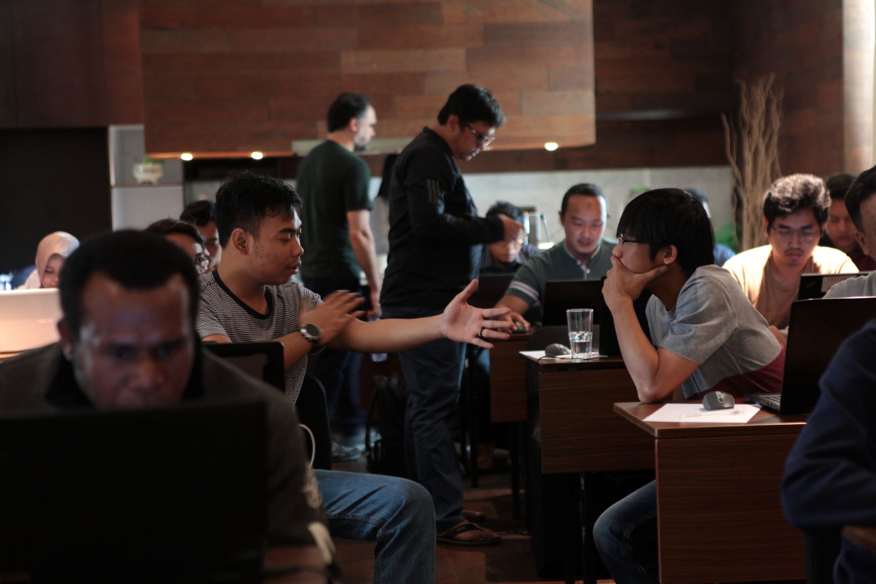
Within the framework of developing Mapbiomas Indonesia, a group of civil society members was trained in basic materials: introduction to Google Earth Engine and cloud computing.
 news
news
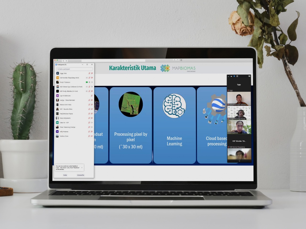
To begin building Mapbiomas Indonesia, members of nine civil society organizations received introductory training for using Google Earth Engine (GEE) and cloud-based satellite image processing.
 news
news
Exploration of land cover dynamics methods, technologies and platforms to government agencies and CSOs.